http://students.uwf.edu/krm20/presentation.htm
http://students.uwf.edu/krm20/bobwhite.htm
Please copy and paste the links to my final presentation and summary.
Kyle McWhorter 4/27/2010
Tuesday, April 27, 2010
Saturday, April 10, 2010
Week 11 ESRI
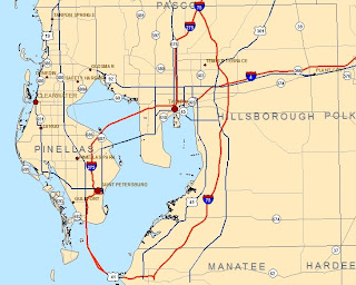
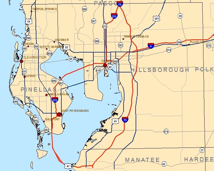
final_CitiesAndRoads from "Manage your labels with class"
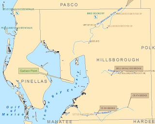
final_Recreation from "Add custom text to your maps"
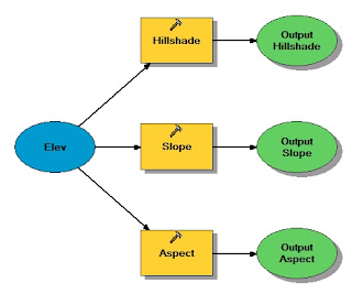
Model from "Work with Spatial Analyst tools"
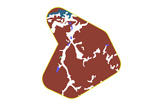
ReclassVeg2 from "Reclassify data to common scale"
3D Analyst
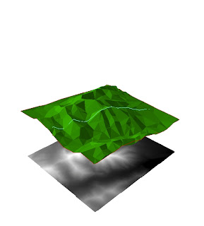
This map shows a 3D TIN (trianulated irregular network) with a shapefile of a hike overlayed on top. Under the TIN is a raster in 2D.
final_Recreation from "Add custom text to your maps"

Model from "Work with Spatial Analyst tools"

ReclassVeg2 from "Reclassify data to common scale"

3D Analyst

This map shows a 3D TIN (trianulated irregular network) with a shapefile of a hike overlayed on top. Under the TIN is a raster in 2D.
Subscribe to:
Comments (Atom)