http://students.uwf.edu/krm20/presentation.htm
http://students.uwf.edu/krm20/bobwhite.htm
Please copy and paste the links to my final presentation and summary.
Kyle McWhorter 4/27/2010
Tuesday, April 27, 2010

Saturday, April 10, 2010
Week 11 ESRI
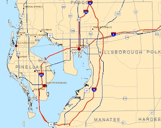
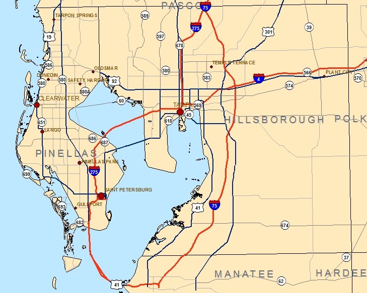
final_CitiesAndRoads from "Manage your labels with class"
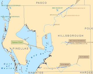
final_Recreation from "Add custom text to your maps"
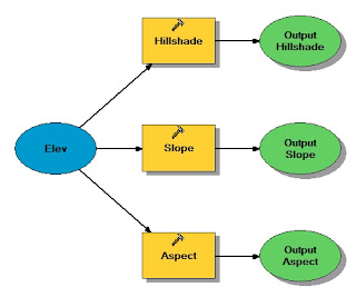
Model from "Work with Spatial Analyst tools"
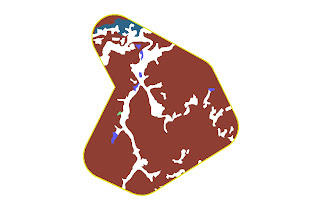
ReclassVeg2 from "Reclassify data to common scale"
3D Analyst
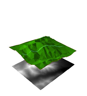
This map shows a 3D TIN (trianulated irregular network) with a shapefile of a hike overlayed on top. Under the TIN is a raster in 2D.
final_Recreation from "Add custom text to your maps"

Model from "Work with Spatial Analyst tools"

ReclassVeg2 from "Reclassify data to common scale"

3D Analyst

This map shows a 3D TIN (trianulated irregular network) with a shapefile of a hike overlayed on top. Under the TIN is a raster in 2D.
Tuesday, March 30, 2010
Week10 Gulf County Property Owners

This map shows the 4 largest property owners in Gulf County, FL. I chose not to label the cities and streets because I felt that it might distract from the focus of the map which is total land area owned.
Sunday, March 21, 2010
Week 9

Q1. I used the intersect tool to use the common features in each class. There were no noticable differences.
Q2. I used the erase tool to erase the potential sites that fell within the conservation areas.
Q3. There were 79 features in this layer. The largest was 7,765,304 square meters. The smallest area was 748 square meters.
Monday, March 1, 2010

Sunday, February 21, 2010

Saturday, February 20, 2010

Subscribe to:
Posts (Atom)