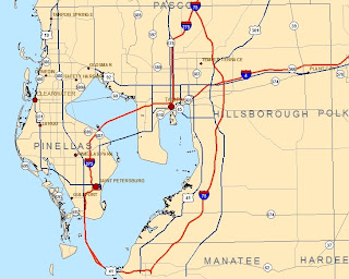
final_Recreation from "Add custom text to your maps"
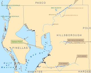
Model from "Work with Spatial Analyst tools"
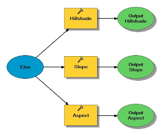
ReclassVeg2 from "Reclassify data to common scale"
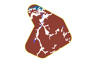
3D Analyst
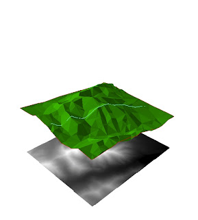
This map shows a 3D TIN (trianulated irregular network) with a shapefile of a hike overlayed on top. Under the TIN is a raster in 2D.
No comments:
Post a Comment