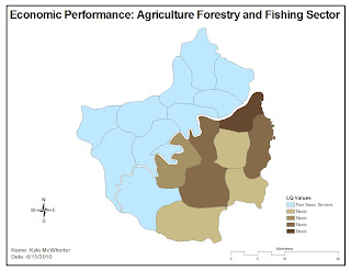
This map shows the sectors that are dominated by Agriculture Forestry and Fishing. This was another map that was great to work through and learn the techniques used. I should be able to use these same techniques at work on a daily basis! This aspect of GIS is being used quite a bit right now with the situation in the Gulf of Mexico. Folks are losing their livelyhoods and GIS analysts are tasked with among many other things, documenting the severty of this loss.
No comments:
Post a Comment